Blog
During the Christmas holiday I wrote a Totem plugin to watch video streams from the Arte+7 website. Sadly this service is only available for IPs from Germany, France, Belgium and Switzerland. Guillaume Desmottes released a similar plugin for Moovida some days ago, which I was not aware of when I started my project. Arte is the only TV channel that I watch regularly. I like their documentaries, the European news flash and the music magazine 'Tracks' (available in German or French).
You can pull it from here: gitorious.org/totem-plugin-arte. It's probably the first useful Totem plugin implemented in Vala. Your feedback is very welcome.
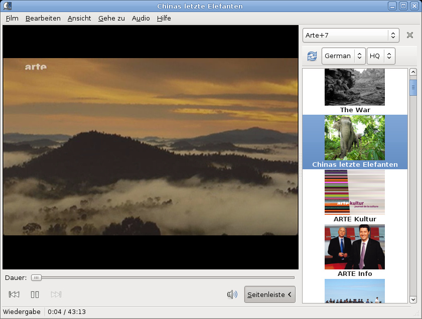
Endlich ist Arte+7 auch direkt aus der Schweiz nutzbar. Nun muss nur noch die 7 Tage Restriktion wegfallen und TV ist so wie es sein sollte...
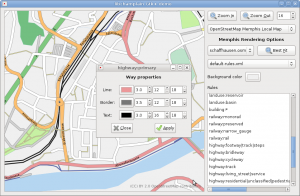
All main goals of my project are implemented and work. Libchamplain can now draw maps from OpenStreetMap XML data with customized drawing rules. Watch this short screencast to see that editing drawing rules actually works ;-).
Known Issues
- There is one known minor bug. Libmemphis can render tiles at any size, but only 256x256 can be used in libchamplain, because switching between map sources with different tile size causes memory corruption. Bigger tiles could lead to better drawing performance.
- libmemphis is copied into the champlain source tree.
- Some renderer (libmemphis) features are missing (e.g. point of interest data).
The Future
a
I have not planned to disappear after the GSoC. I want to make sure that my code can be merged. First, I will push libmemphis to a release, so it can be removed from the champlain tree. Second, I will add some of the missing libmemphis parser/renderer features.
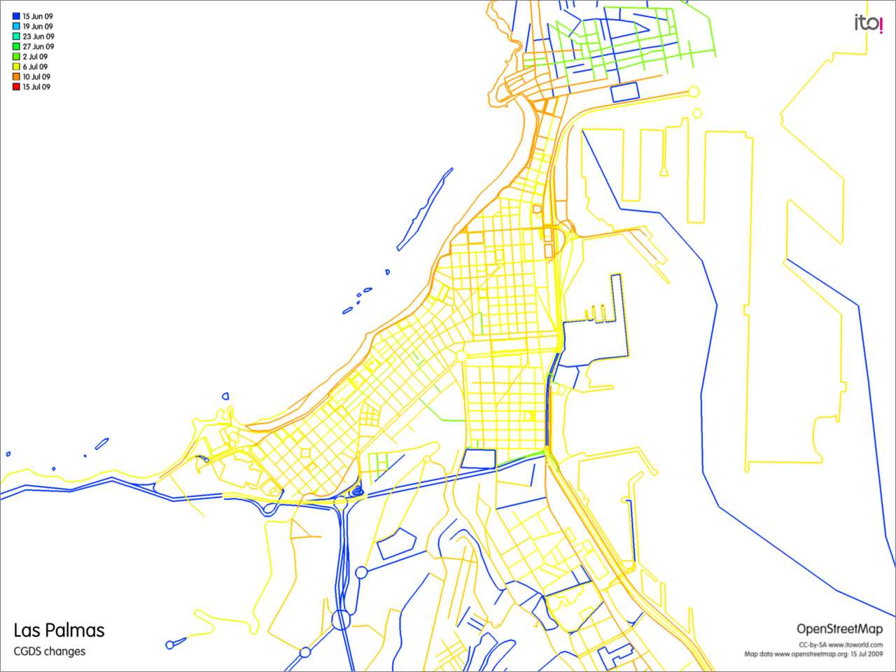
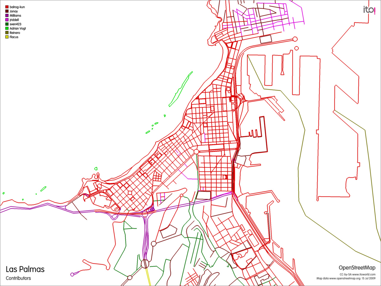
I blogged about the big improvements of the OpenSreetMap data of Las Palmas during GCDS. I wanted to visualize the changes with OSMdiff, but it didn't work. Today I stumbled upon this service to export changes of an OSM area.
The result is astonishing. Nearly all data was changed during this period and nearly all contributions were made by one user, balrog-kun, wow! Well, some contributors are missing, because the export does not consider POI data.
Last week I implemented the network-map-data-source and I added caching of rendered tiles, which improves the zooming and browsing speed a lot.
As
everyone is creating a screencast at the SoC midterm, I feel the need to do one too. (but not in a proprietary format!)
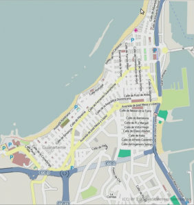
Footnote: The Open Street Map data of
Las Palmas was very poor before the GCDS. Only some fragments of streets without names were available. And now, nearly the whole city is mapped. Awesome work!


