Las Palmas in OpenStreetMap
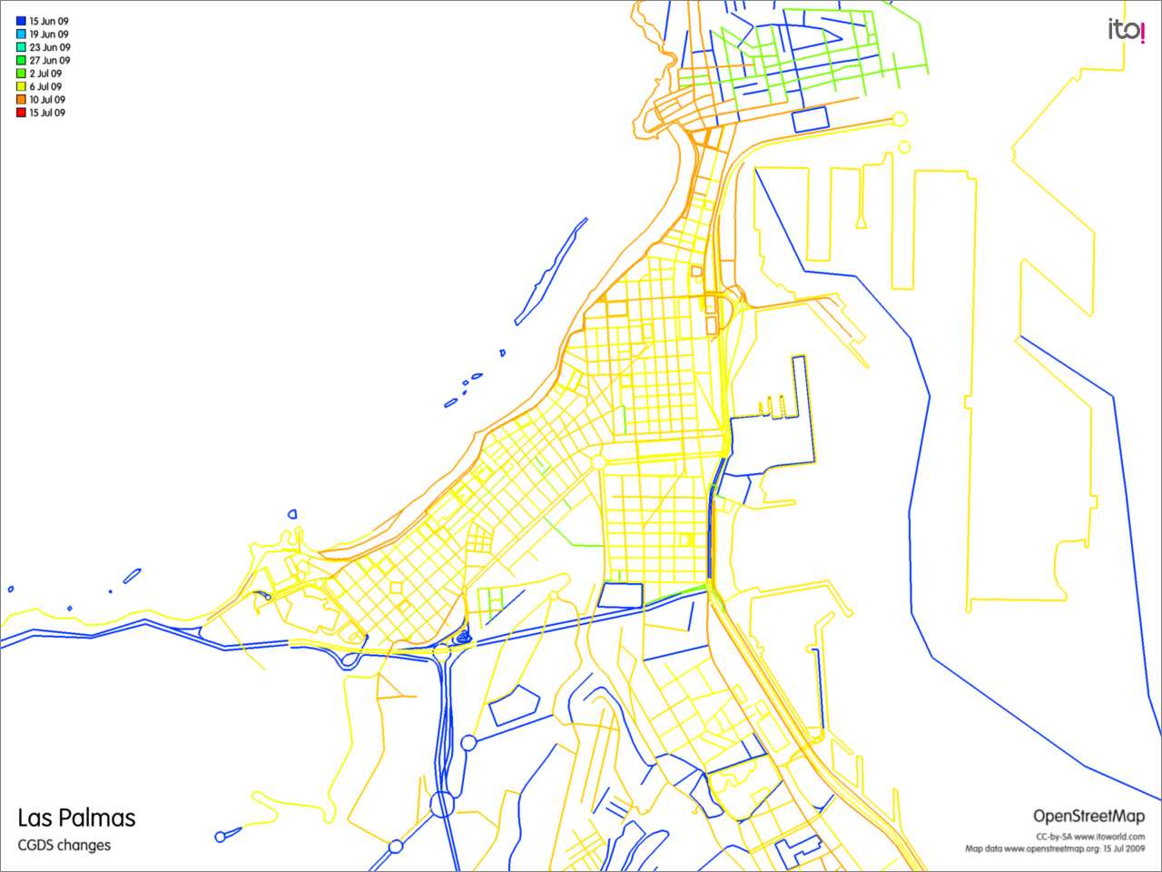
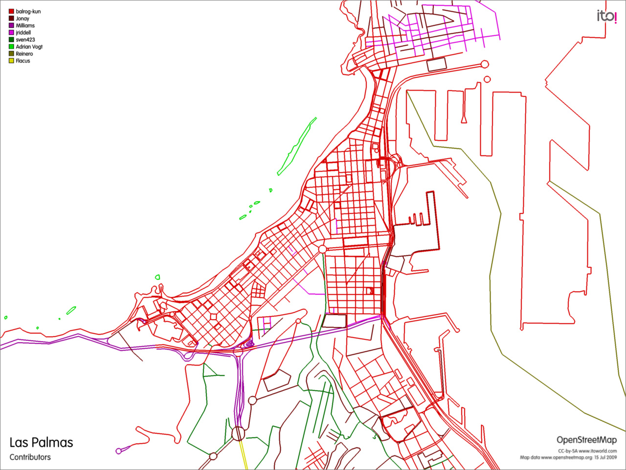
I blogged about the big improvements of the OpenSreetMap data of Las Palmas during GCDS. I wanted to visualize the changes with OSMdiff, but it didn't work. Today I stumbled upon this service to export changes of an OSM area.
The result is astonishing. Nearly all data was changed during this period and nearly all contributions were made by one user, balrog-kun, wow! Well, some contributors are missing, because the export does not consider POI data.

